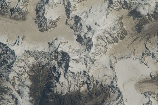
Uttarakhand
Uttarakhand (Hindi: Uttarākhaṇḍ , pronounced [ˈʊt̪ːəɾaːkʰəɳɖ], lit. 'Northern Land'), is a state in northern India. It shares international boundaries with Tibet to the north and Nepal to the east, while the Indian states of Himachal Pradesh and Uttar Pradesh are the states that border it to the west and south, respectively. Earlier known as Uttaranchal, this state was carved out from Uttar Pradesh in 2000 and formally declared as a state on 9th November 2000. Uttarakhand has an area of 53,483 km 2 (20,650 sq mi), which constitutes 1.6 per cent of the total area of the country. Dehradun is …
States of IndiaEnglish
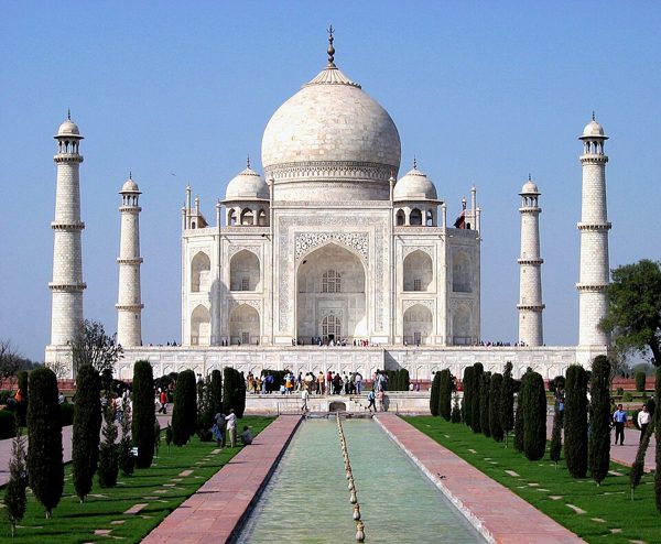
Uttar Pradesh
Uttar Pradesh ( UTT-ər prə-DESH , abbr. UP ; Hindi: Uttar Pradēś , pronounced [ˈʊt̪ːəɾ pɾə.ˈdeːɕ] ⓘ , lit. 'Northern Province') is a state located in northern part of India. With over 241 million inhabitants, it is India's most populated state. [18] The state is bordered by Rajasthan to the west, Haryana, Himachal Pradesh and Delhi to the northwest, Uttarakhand and Nepal to the north, Bihar to the east, Madhya Pradesh, Chhattisgarh and Jharkhand to the south. It is the fourth-largest Indian state by area covering 243,286 km 2 (93,933 sq mi), accounting for 7.3 per cent of the total area of …
States of IndiaEnglish
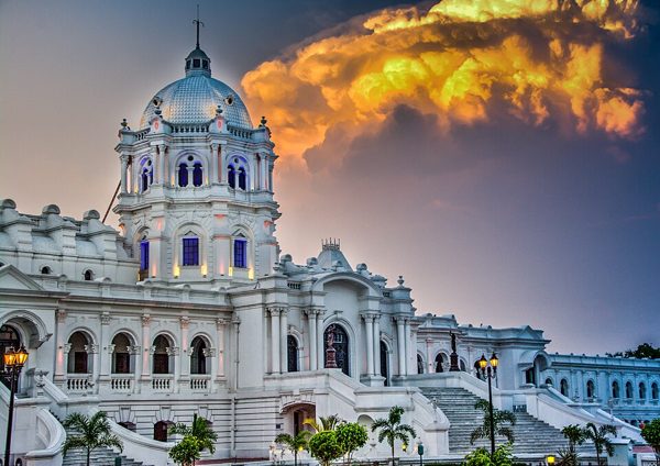
Tripura
Tripura (/ˈtrɪpʊrə, -ərə/) [13] is a state in northeastern India. The third-smallest state in the country, it covers 10,491 km 2 (4,051 sq mi); and the seventh-least populous state with a population of 3.67 million. [14] It is bordered by Assam and Mizoram to the east, and by Bangladesh to the north, south and west. [15] Tripura is divided into eight districts and 23 sub-divisions, where Agartala is the capital and the largest city in the state. Tripura has 19 different tribal communities [16] with a majority Bengali population. Bengali, Kokborok, and English are the state's official langua…
States of IndiaEnglish
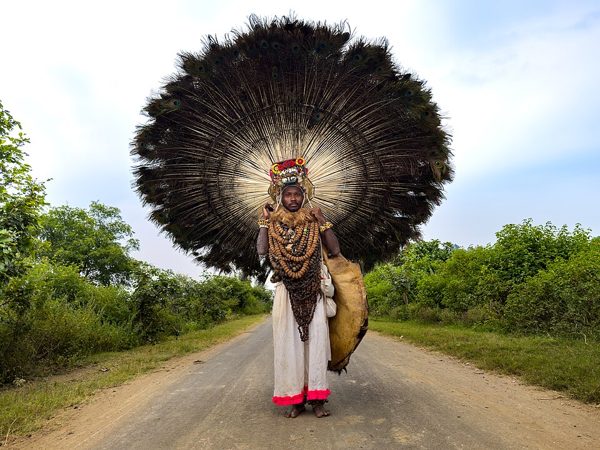
Telangana
Telangana [1] is a state in southern India on the Deccan Plateau bordering Maharashtra and Chhattisgarh to the north and Andhra Pradesh and Karnataka to the south. It is the eleventh largest and the twelfth most populated state of India. [14] [15] According to the Rigveda's Aitareya Brahmana, the region corresponding to Telangana has been inhabited by the Asmakas and Andhras since at least the 8th and 9th century BCE, respectively, with the later Satavahana dynasty, who ruled over the entire Deccan Plateau, establishing trade relations as far as the Roman Empire. Subsequent major dynasties …
States of IndiaEnglish
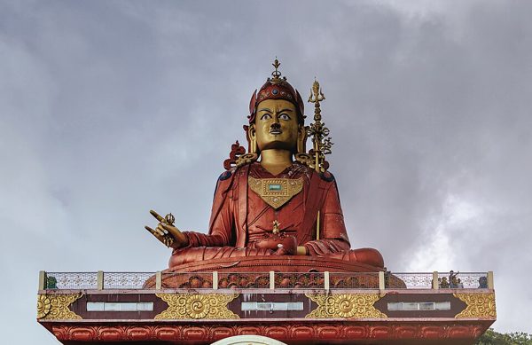
Sikkim
Sikkim (/ˈsɪkɪm/ SIK-im ; Nepali: [ˈsikːim]) is a state in northeast India. It borders Bhutan in the east, the Tibet Autonomous Region of China in the north and northeast, Koshi Province of Nepal in the west, and West Bengal in the south. Sikkim is one of the two Indian states that share their border with just one other Indian state — West Bengal. Sikkim is also close to the Siliguri Corridor, which borders Bangladesh, Nepal and Bhutan. Sikkim is the least populous and second-smallest among the Indian states. Situated in the Eastern Himalaya, Sikkim is notable for its biodiversity, includin…
States of IndiaEnglish
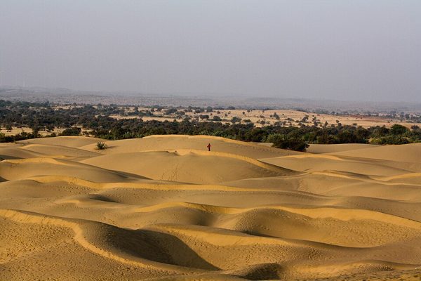
Rajasthan
Rajasthan (Hindi: Rājasthāna , pronounced [ɾaːd͡ʒəsˈtʰaːn] ⓘ ; lit. 'Land of Kings') [12] is a state in northwestern India. [13] [14] [15] It is the largest Indian state by area and the seventh largest by population. It covers 342,239 square kilometres (132,139 mi 2 ) or 10.4 per cent of India's total geographical area. It is on India's northwestern side, where it comprises most of the wide and inhospitable Thar Desert (also known as the Great Indian Desert) and shares a border with the Pakistani provinces of Punjab to the northwest and Sindh to the west, along the Sutlej-Indus River valley…
States of IndiaEnglish
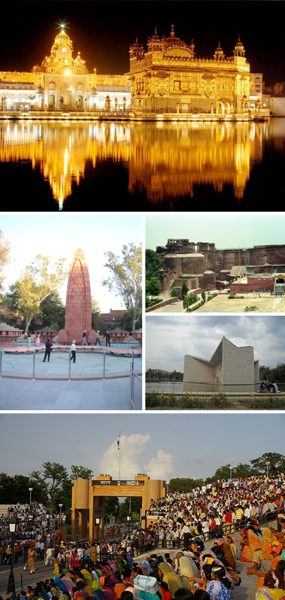
Punjab, India
Punjab (/pʌnˈdʒɑːb/ pun-JAHB ; [21] Panjabi: pañjāba , pronounced [pəɲˈd͡ʒaːb] ⓘ ) is a state in northwestern India. Forming part of the larger Punjab region of the Indian subcontinent, the state is bordered by the Indian states and union territories of Himachal Pradesh to the north and northeast, Haryana to the south and southeast, Rajasthan to the southwest, Jammu and Kashmir to the north. To the west, it shares an international border with the identically named Pakistani province of Punjab. [22] Chandigarh serves as a shared capital for Punjab as well as Haryana. The state covers an area…
States of IndiaEnglish

Odisha
Odisha (Oriya: oṛiśā , pronounced [oˈɽisa] ⓘ ), spelled Orissa until 2011, [18] is a state located in eastern India. It is the eighth-largest state by area, and the eleventh-largest by population, with over 41 million inhabitants. The state also has the third-largest population of Scheduled Tribes in India. [19] It neighbours the states of Jharkhand and West Bengal to the north, Chhattisgarh to the west, and Andhra Pradesh to the south. Odisha has a coastline of 485 kilometres (301 mi) along the Bay of Bengal in the Indian Ocean. [20] The region is also known as Utkaḷa and is mentioned by t…
States of IndiaEnglish
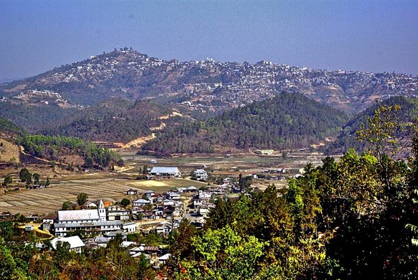
Mizoram
Mizoram [1] is a state in northeastern India, with Aizawl as its capital and largest city. It shares 722 kilometres (449 miles) of international borders with Bangladesh to the west, and Myanmar to the east and south, with domestic borders with the Indian states of Assam, Manipur, and Tripura. [11] It covers an area of 21,081 square kilometres [4] (8,139 sq mi). Forests cover 84.53% of the area, making it the fourth most heavily forested state in India. [12] With an estimated population of 1.26 million in 2023, it is the second least populated state in India. [13] With an urbanisation rate o…
States of IndiaEnglish
Meghalaya
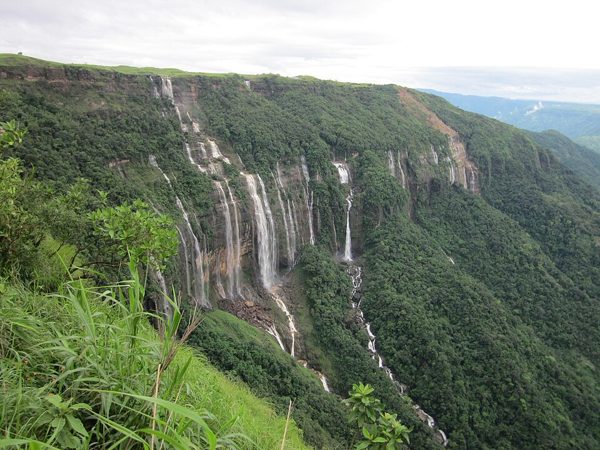
Meghalaya (/ˌmeɪɡəˈleɪə, meɪˈɡɑːləjə/; [9] [10] lit. "the abode of clouds" [11] ) is a state in northeast India, with Shillong as its capital city. Meghalaya was formed on 21 January 1972 as a new state by carving out two districts from the state of Assam: the united Khasi Hills and Jaintia Hills, and the Garo Hills. [12] The estimated population of Meghalaya in 2014 was 3,211,474. [13] Meghalaya covers an area of approximately 22,429 square kilometres, with a length-to-breadth ratio of about 3:1. [14] The state is bound to the south by the Bangladeshi divisions of Mymensingh and Sylhet, to…
States of IndiaEnglish
Manipur
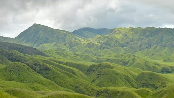
Manipur (/ˌmænɪˈpʊər/, IPA: [məɳiˈpʊɾ]) [14] is a state in northeastern India, with Imphal as its capital city. It borders the Indian states of Assam to the west, Mizoram to the south, and Nagaland to the north and shares the international border with Myanmar, specifically the Sagaing Region to the east and Chin State to the southeast. Covering an area of 22,330 square kilometers (8,621 sq mi), the state consists mostly of hilly terrain with the 1813-square-kilometre (700 sq mi) Imphal Valley inhabited by the Meitei (Manipuri) community, historically a kingdom. Surrounding hills are home to…
States of IndiaEnglish
Maharashtra
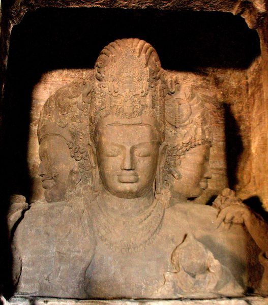
Maharashtra [1] is a state in the western peninsular region of India occupying a substantial portion of the Deccan Plateau. It is bordered by the Arabian Sea to the west, the Indian states of Karnataka and Goa to the south, Telangana to the southeast and Chhattisgarh to the east, Gujarat and Madhya Pradesh to the north, and the Indian union territory of Dadra and Nagar Haveli and Daman and Diu to the northwest. [23] Maharashtra is the second-most populous state in India, the third-most populous country subdivision in South Asia, and the fourth-most populous in the world.
States of IndiaEnglish
Madhya Pradesh
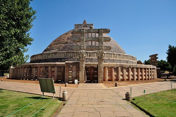
Madhya Pradesh (/ˌmɑːdjə prəˈdɛʃ/; [10] Hindi: [ˈmədʱjə pɾəˈdeːʃ] ⓘ ; lit. 'Central Province') is a state in central India. Its capital is Bhopal. Other major cities include Indore, Gwalior, Jabalpur, Chhindwara and Sagar. Madhya Pradesh is the second largest Indian state by area and the fifth largest state by population with over 72 million residents. It borders the states of Rajasthan to the northwest, Uttar Pradesh to the northeast, Chhattisgarh to the east, Maharashtra to the south and Gujarat to the west. [11]
States of IndiaEnglish
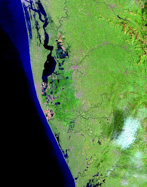
Kerala
Kerala (English: /ˈkɛrələ/ ⓘ / KERR-ə-lə ; Malayalam: [keːɾɐɭɐm] ⓘ ), officially Keralam , [591] is a state on the Malabar Coast of southern India. It was formed on 1 November 1956 under the States Reorganisation Act, which unified the country's Malayalam-speaking regions into a single state. Covering 38,863 km 2 (15,005 sq mi), Kerala is primarily a strip of coastal plains sandwiched by the Western Ghats and the Laccadive Sea, bound by Karnataka to the northeast, Tamil Nadu to the east, and the Lakshadweep islands in the western vicinity. With 33 million inhabitants according to the 2011 c…
States of IndiaEnglish
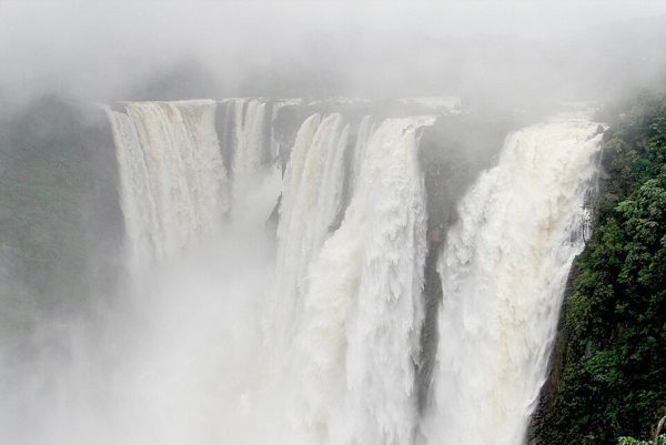
Karnataka
Karnataka [1] is a state on the southwestern coast of India. It was formed as Mysore State on 1 November 1956, with the passage of the States Reorganisation Act, and renamed in 1973. The state is bordered by the Lakshadweep Sea to the west, Goa to the northwest, Maharashtra to the north, Telangana to the northeast, Andhra Pradesh to the east, Tamil Nadu to the southeast, and Kerala to the southwest. With 61,130,704 inhabitants recorded in the 2011 census, Karnataka is the eighth-largest Indian state by population; administratively, it is divided into 31 districts. With over 15 million resid…
States of IndiaEnglish
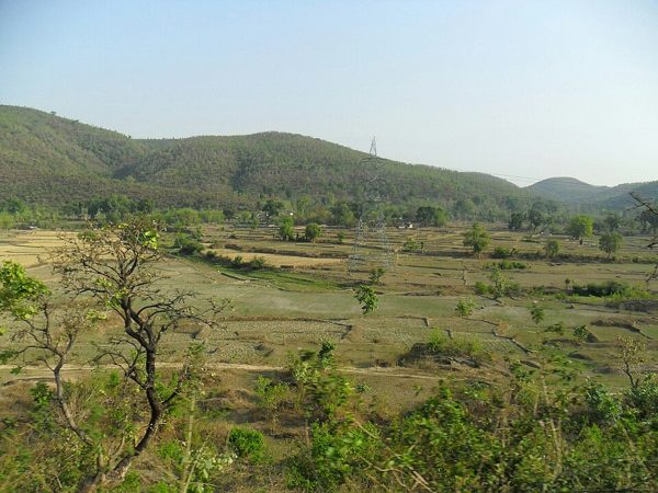
Jharkhand
Jharkhand (Hindi: Jhārkhaṇḍ , pronounced [d͡ʒʱaːɾkʰəɳɖ] ⓘ ; lit. 'the land of forests') is a landlocked state in eastern India. [16] The state shares borders with the states of West Bengal to the east, Chhattisgarh to the west, Uttar Pradesh to the northwest, Bihar to the north and Odisha to the south. It is the 15th largest state by area, and the 14th largest by population. Hindi is the official language of the state. [6] The city of Ranchi is its capital, and Dumka its sub-capital. The state is known for its waterfalls, hills and holy places; Baidyanath Dham, Parasnath, Dewri and Rajrappa…
States of IndiaEnglish
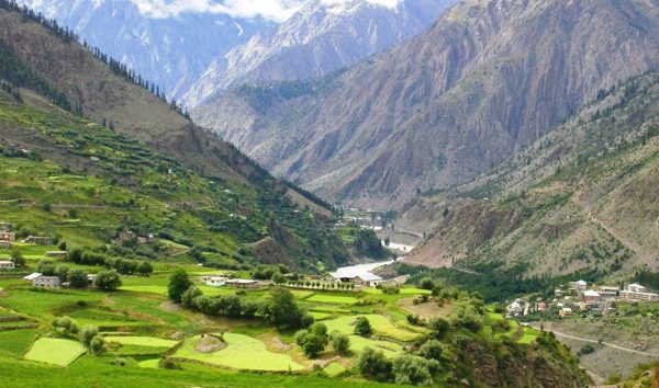
Himachal Pradesh
Himachal Pradesh (Hindi: Himācal Pradeś , pronounced [ɦɪˈmäːtʃəl pɾəˈd̪eːʃ] ⓘ ; lit. 'Snow-laden Mountain Province') [16] is a state in the northern part of India. Situated in the Western Himalayas, it is one of the 13 mountain states and is characterised by an extreme landscape featuring several peaks and extensive river systems. Himachal Pradesh is the northernmost state of India and shares borders with the union territories of Jammu and Kashmir and Ladakh to the north, and the states of Punjab to the west, Haryana to the southwest, Uttarakhand to the southeast and a very narrow border wi…
States of IndiaEnglish
Haryana
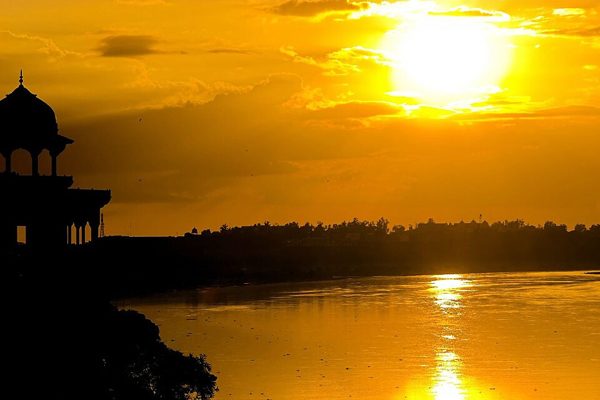
Haryana [1] is a state located in the northwestern part of India. It is bordered by Punjab and Himachal Pradesh to the north, by Rajasthan to the west and south, by Delhi to the southeast, while river Yamuna forms its eastern border with Uttar Pradesh. The state capital is Chandigarh, which it shares with the neighbouring state of Punjab. The city of Gurgaon is among India's largest financial and technology hubs. [20] The most populous city is Faridabad, a part of the National Capital Region. In terms of area, it ranks 21st in India, with around 1.5% (44,212 km 2 or 17,070 sq mi) of India's…
States of IndiaEnglish
Gujarat
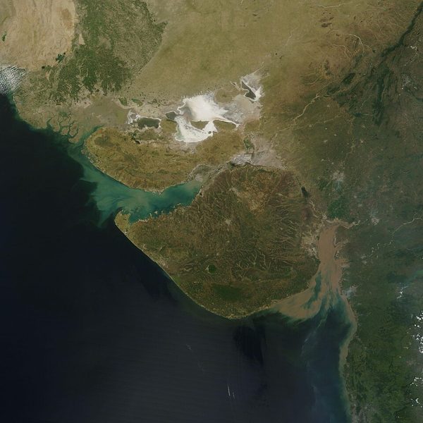
Gujarat (Gujarati: Gujarāt , pronounced [ˈɡudʒəɾaːt] ⓘ ) is a state along the western coast of India. Its coastline of about 2,340 km (1,450 mi) is the longest in the country, most of which lies on the Kathiawar peninsula. Gujarat is the fifth-largest Indian state by area, covering some 196,024 km 2 (75,685 mi 2 ); and the ninth-most populous state, with a population of 60.4 million in 2011. It is bordered by Rajasthan to the northeast, Dadra and Nagar Haveli and Daman and Diu to the south, Maharashtra to the southeast, Madhya Pradesh to the east, and the Arabian Sea and the Pakistani provi…
States of IndiaEnglish
Goa
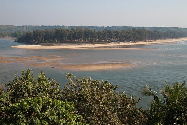
Goa (/ˈɡoʊ.ə/ GOH-ə ; [10] Konkani: [ɡɔ̃j]; Portuguese: [ˈɡoɐ] ⓘ ) is a state on the southwestern coast of India within the Konkan region. It is geographically separated from the Deccan highlands by the Western Ghats. [11] [12] It is bordered by the Indian states of Maharashtra to the north and Karnataka to the east and south, with the Arabian Sea forming its western coastline. It was the capital of the eastern Portuguese empire until 1961. It is India's smallest state by area and fourth-smallest by population. [13] Panaji ( Panjim ) is the state's capital, while Vasco da Gama is its larges…
States of IndiaEnglish